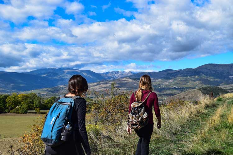
Paine Gulche 6 Miles Moderate
Overview:
On this hike you will walk up a valley to an open burn area from the big Monarch Burn that occurred over Labor Day in 2001. You will see lots of wild flowers that have been covered by a huge amount of snow all winter, as well as a mix of deciduous and evergreen trees. Paine Gulch is a Natural Research Area on the Lewis and Clark National Forest.
Directions:
Go south on US-89 S/MT-200 E/MT-3 S. for 23.4 miles. Turn right onto US-89 and drive 21.2 miles until you reach Monarch, MT. Turn off US-89 at the Lazy Doe Restaurant sign to your immediate right. The best way to locate the trailhead is to park at the very north end of the Lazy Doe Parking Lot in Monarch, look across the highway and to your left there will be small wooden oak trail sign with 737 on it.

