White Cliffs of the Upper Missouri Wild and Scenic River (Multi-day Intermediate Trip)
If you are a paddling enthusiast this trip is probably on your bucket list. You will find only flat water with an occasional boulder or tree to avoid; however, the rivers remote location and limited access require a multi-day commitment.
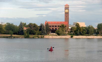
Segment 1: Decision Point. The shortest segment of 42 miles begins at Fort Benton, MT and exits the river at Coal Banks Landing. To enjoy a 42 mile paddle, an overnight stay is necessary. Primitive camping is allowed along the river. This is the section of river traversed by Lewis and Clark and four of their camp spots are located along the river. BLM maintains an interpretive stop at Decision Point which is the location where Lewis and Clark correctly discerned the main Missouri River from a tributary.
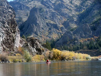
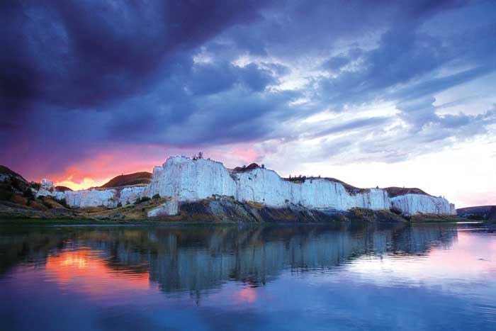
Segment 2: White Cliffs of the Missouri. A unique and incredibly beautiful stretch of river, the portion of the Missouri from Coal Banks Landing to Judith Landing is 47 miles of paddling bliss. The river runs along 300 foot tall white cliffs throughout this stretch providing great river edge hiking opportunities. The famous Hole-in-the-Wall is located along this portion of the river. BLM maintains several designated camps along this section of river.
Segment 3: The Missouri Breaks. The float from Judith Landing to Kipp Recreational Area is 61 miles. The remote and undomesticated landscape of this section of the river make it a unique wilderness paddling opportunities in the United States. Solitude is easy to find along this stretch of the river other than the bighorn sheep and elk that are often seen riverside.
Montana River Outfitters (406-761-1677) offers shuttle services and guided trips.

